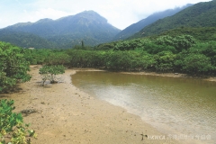
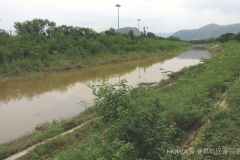
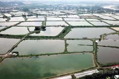
According to the “Convention on Wetlands of International Importance especially as Waterfowl Habitat” (Ramsar Convention 1991), wetland is defined as “areas of marsh, fen, peatland or water, whether natural or artificial, permanent or temporary, with water that is static or flowing, fresh, brackish or salt, including areas of marine water the depth of which at low tide does not exceed six metres” .
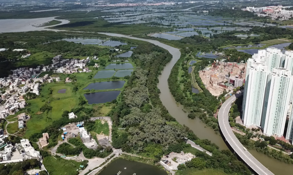
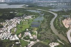
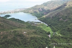
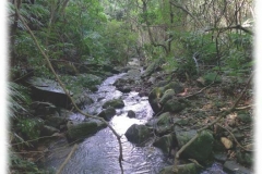
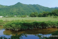
Based on Ramsar’s definition, wetland types in Hong Kong include reservoirs, fish ponds/gei wais, mangrove and swamp, streams and nullahs, wet agricultural lands, mudflats and coastal waters. According to the latest (2016-2017) land use data compiled by Planning Department, excluding wet agricultural land (which is not differentiated from the category of agricultural land), intertidal mudflats and coastal waters (area below the High Water Mark which is not included), only about 4.6% of total land area (i.e. 51km2 out of 1111 km2) is classified as wetland in Hong Kong 1.
Land Utilisation in Hong Kong (Source: Planning Department1)
1 Figure 1: Land Utilisation in Hong Kong (Source: Planning Department in https://landforhongkong.hk/en/demand_supply/index.php)
